


Lower Graveyard Lake starting at 10,000 feet.
Summer is here and with map in hand, now to plan another multiple overnight hike into the Sierra Nevada mountains. I’ll set up this adventure surrounding a dozen lakes around 10,000 feet.
The area around Edison Lake should satisfy my desire for this hike. Fishing and photography should keep this adventure exciting.
The trailhead starts north of the Edison Lake Campground and follows east to Graveyard Meadow. I arrived late morning at the trailhead and started my adventure around 10 a.m.
I’ll hike along Edison Lake’s northern edge through the pine trees and thick mountain grass. The trail will fork to the left as I continued to the lower Graveyard Lake.
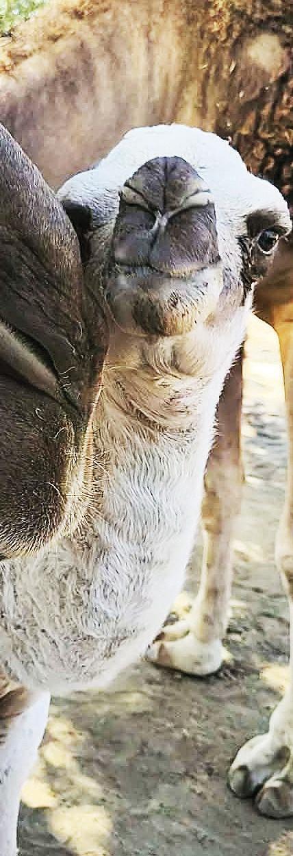
No wildflowers in the meadow this late in the season. There are five manor lakes starting at 9,940 feet and each survives as steps as you climb to the Silver Fox Pass.
As I climbed upward, the peaks of the surrounding mountains start appearing, showing off their dress code for the summer months. These colorful flowers and pine trees of green, gray, yellow, orange and white are still boasting patches of snow from the winter months.

Tony Krizan
Any of these lower lakes are an ideal spot for my first night’s campsite. I spent the remainder of the first day fishing two of the five lakes. I awoke at 5:30 a.m. and continued fishing the three remaining lakes.
I broke camp around 3 p.m. and started hiking over Silver Fox Pass at 10,400 feet. This pass was named after a colorful mountain man, Tom Addison, who spent over 50 years hiking these mountains.
This pass will test one’s skills on picking a line to reach the saddle. Once on the top the views are spectacular. Facing west I was looking down on all the Graveyard Lakes and in the distance I could see a canyon carved by the San Joaquin River as it snakes its way through the valley.
The west end of the valley is bordered by the tall Minaret Mountains. This saddle is not very wide and at its western end, a five foot flat rock had obsidian chips scattered on its surface.

North side of Silver Fox Pass, boulder hop down 700 feet to the base of the mountain.
Now I ask myself how many centuries have these chips been hiding under the snow?
Normally, this pass is covered with snow and with this being a dry year and at the end of summer, the rock is exposed to heat longer than normal. I did not remove the chips and they are still resting at the same spot for someone else to enjoy.
The descent on the north side is very steep and I tested my skill in boulder hopping down 700 feet until reaching the valley floor. If one attempts this pass before July, the entire area will be covered with snow.
In front of me is a huge snow runoff lake and I stayed on its west side which led me to Peter Pande Lake, the area of my next campsite.
A 15-foot waterfall from Ann Lake tumbles into Peter Pande Lake at its west end and the fishing is great at this location in the evening.
The following morning I followed the stream above the falls to Ann Lake, Minnie Lake and over the ridge to Olive Lake. Excellent fishing at all these lakes and I wanted to go back to Olive Lake the following morning, because the fishing was excellent. The trout was not large, but it was tasty!

Ann Lake above waterfall of Peter Pandy Lake.
The morning came quickly and today will be a longer hike to Grassy Lake and I was told the trail was difficult to follow.
So Olive Lake will have to wait to be revisited and I’ll start my hike early to locate Grassy Lake. Before I departed from home I was told by my mentor, Tom Addison, to hike cross country over the ridge on the right and this will be a short cut hiking the valley on the opposite side, and then follow the makeshift trail below the ridge.
I did as Tom said and his suggestion was correct as the trail led me directly to Grassy Lake. I did not stay at this lake because it was infested with misquotes.
At the east end of the lake was the trail to Wilber May Lake. That lake will be an elevation gain of over 700 feet and I’ll have to hurry to arrive before dark to set up my next campsite.

Looking west at Peter Pandy Lake from mountain base.
Later that day, I intersected the trail leading down to Wilber May Lake. I followed the trail until it opens up into this huge lake surrounded on three sides by mountains extending up more than 10,500 feet.
The forth side is shared by the runoff stream and the one-way trail entering this private domain. Great lake to spend my third night and the trout fishing was great. I felt sad departing from this lake and in my opinion this is one of the most beautiful lakes in this area of the Sierra Nevada.
But I must press on and hike over another 10,400 foot saddle to The Lake of the Lone Indian. As I hiked to the crest of the saddle, the view of the valley below appeared.
Nestled into the valley are the remaining lakes that I will visit. The first lake is the largest of this group and it is The Lake of the Lone Indian.
My first visual impression will be all of that blue water surrounded by pine trees and rock formations. After descending to the lake, I can take my choice and start visiting Chief Lake, Papoose Lake and Brave Lake.

Lake of the Lone Indian next to the John Muir Trail.
These lakes are clustered close to one another for easy fishing. But the smaller lakes are a disappointment; the trout were not biting.
I set my campsite at The Lake of the Lone Indian where the fish were biting. At the west end of the lake was a natural cave and I almost decided to spend the night.
I changed my mind because it was too small and the wind off the lake would be a problem. I chose the east side snuggled behind three huge 10 foot boulders.
The finial lake to fish will be to the right of this major saddle called, Silver Pass Lake. This major pass is located on the John Muir Trail and soon I’ll be starting my many switchback trails to Pocket Meadows at an elevation of 8,985 feet.
Quail Meadow will be the final meadow at 7,900 feet before arriving at Edison Lake for the final meadow at 7,900 feet before arriving at Edison Lake for the ferry boat ride across the lake to the Vermilion to have a snack before departing for home.

Graveyard Lake, number three in the rotation of lakes.
Tony Krizan describes himself as an “adventurer” and he explores the Sierra Nevada range on a regular basis. He can be reached at tonykrizan@hotmail.com.

Peter Pandy Lake in center, Ann Lake on right and Olive Lake on the left.

Upper Graveyard Lake, last lake before starting the climb to the saddle over Silver Fox Pass.


Responses (0)